This dashboard represents the existing protected areas and flora and fauna in Timor
Explore the world of Photo:
Relevant documents with the Protected Area System include Government Service Reports, Legal Framework, and various Research Work documents
SNAP is an application Map designed to manage Protected Areas, Flora & Fauna, and Tourist Sites
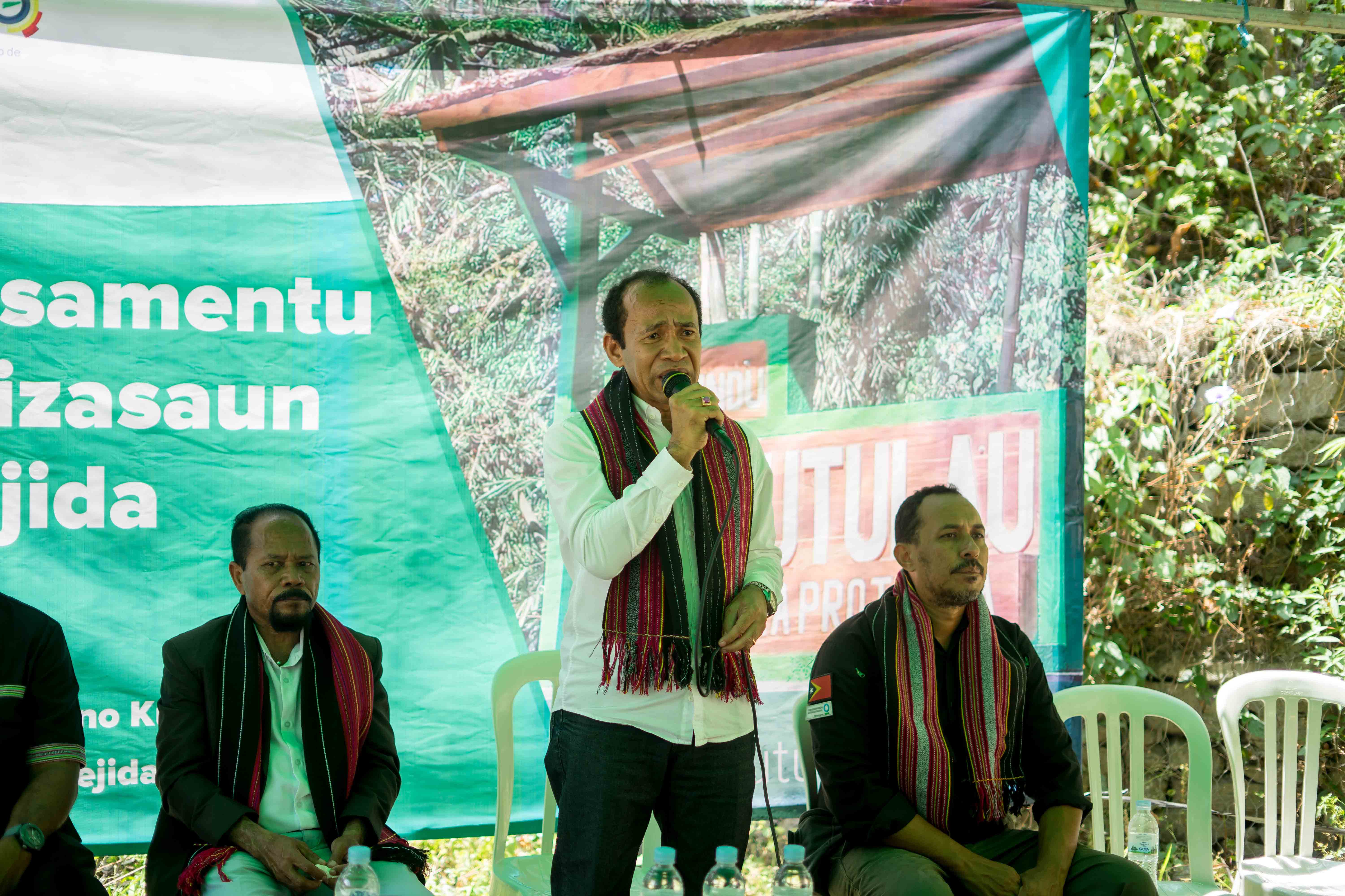
Ceremony Launching event for a Welcome Sign in the Protected Area of Mount Kutulau
Final Workshop
Discovery of a New Species
Monitoring and Mapping